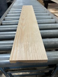
Hardwood lumber being stacked after processing. / Photo Credit: M. Bumgardner
By Matthew Bumgardner and Scott Bowe
Hardwood lumber production in the United States reached a peak in 1999, with an estimated 12.6 billion board feet of output. However, the early 2000s ushered in a major structural shift – the large-scale offshoring of U.S. furniture manufacturing. Once the single largest user of hardwood lumber until the late 1970s, wood furniture has become the smallest major market for hardwood lumber today.
Continue reading “The 21st Century Brings Changes To The Hardwood Lumber Industry”
 The congressionally mandated National Urban and Community Forestry (NUCF) Ten Year Action Plan creates a guiding framework that optimizes innovations, resources and collaborations for the field of urban and community forestry. Input gathered through this voluntary form is part of the stakeholder engagement process and will help update the NUCF Ten Year Action Plan.
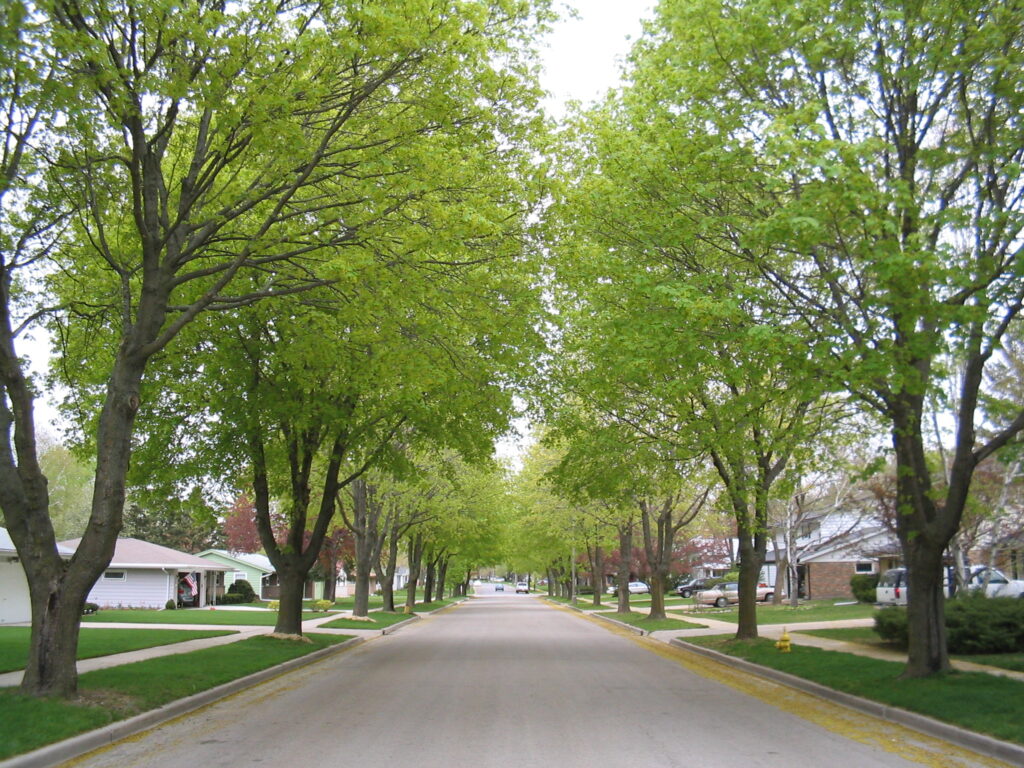
 The purpose of the