 *These training opportunities are provided as an information service only and do not constitute an endorsement from the Wisconsin Department of Natural Resources (DNR).
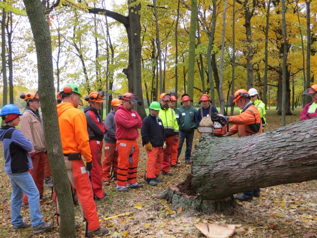
See below for information on trainings about seed production, forest management for wildlife, pest trends, research projects, apple tree grafting, chainsaw maintenance and the educational resource of the month. Continue reading “Upcoming Trainings”

 *These training opportunities are provided as an information service only and do not constitute an endorsement from the Wisconsin Department of Natural Resources (DNR).
 The Urban Forest Improvement Program, funded by the Inflation Reduction Act and the USDA Forest Service’s Urban and Community Forestry Program, provides grants to help organizations benchmark their urban or community forests against the Sustainable Forestry Initiative (SFI) Urban and Community Forest Sustainability Standard.
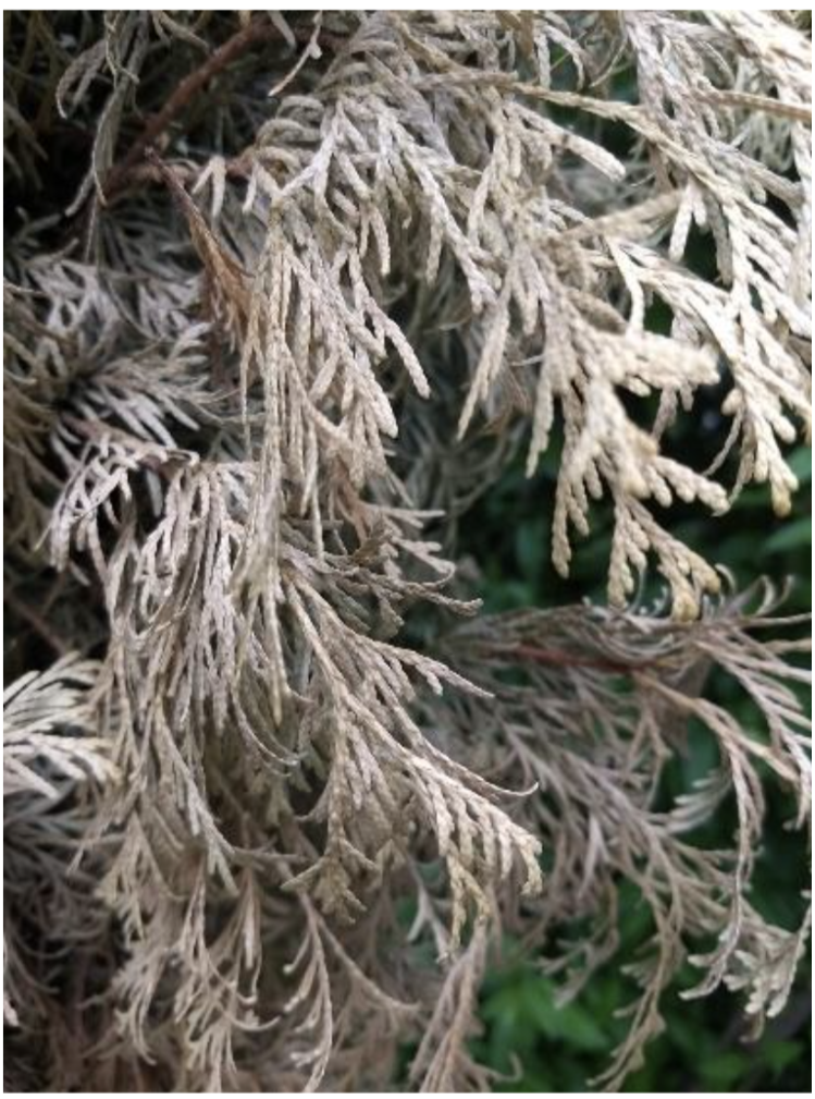 ‘Winter burn’ refers to a type of damage to evergreen foliage that typically occurs over winter. Common symptoms are browning and dying from the tips of the foliage inward. Several factors cause winter burn on evergreens, including winter ‘thaws’ while the ground is frozen, dry soil in autumn, a long period of very cold temperatures, winter sun on evergreen foliage or drying winter winds, poor siting of susceptible plants, recent planting/transplanting and the individual plant’s susceptibility. Frequently affected plants include yews, junipers, boxwood, arborvitae, rhododendrons, dwarf Alberta spruce and hemlock.