
By Bill McNee, DNR Forest Health Specialist, Oshkosh;
Bill.McNee@wisconsin.gov or 920-360-0942
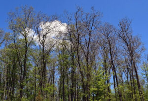
Spongy moth defoliation in Marinette County in mid-June 2024. / Photo Credit: Darrek Sams, Wisconsin DNR
As of early July, we have seen a mix of live and dead caterpillars and tree defoliation that is typical of a late-stage spongy moth outbreak. Reports of defoliation have been received as far north as Florence County.
Recent aerial surveys in southern Wisconsin spotted defoliation in the same general areas as in 2023, but the defoliation has generally been less intense this year. Information for northern Wisconsin has yet to be made available. Refoliating oaks, growing a second set of pale-looking leaves, were seen in Walworth County in early July.

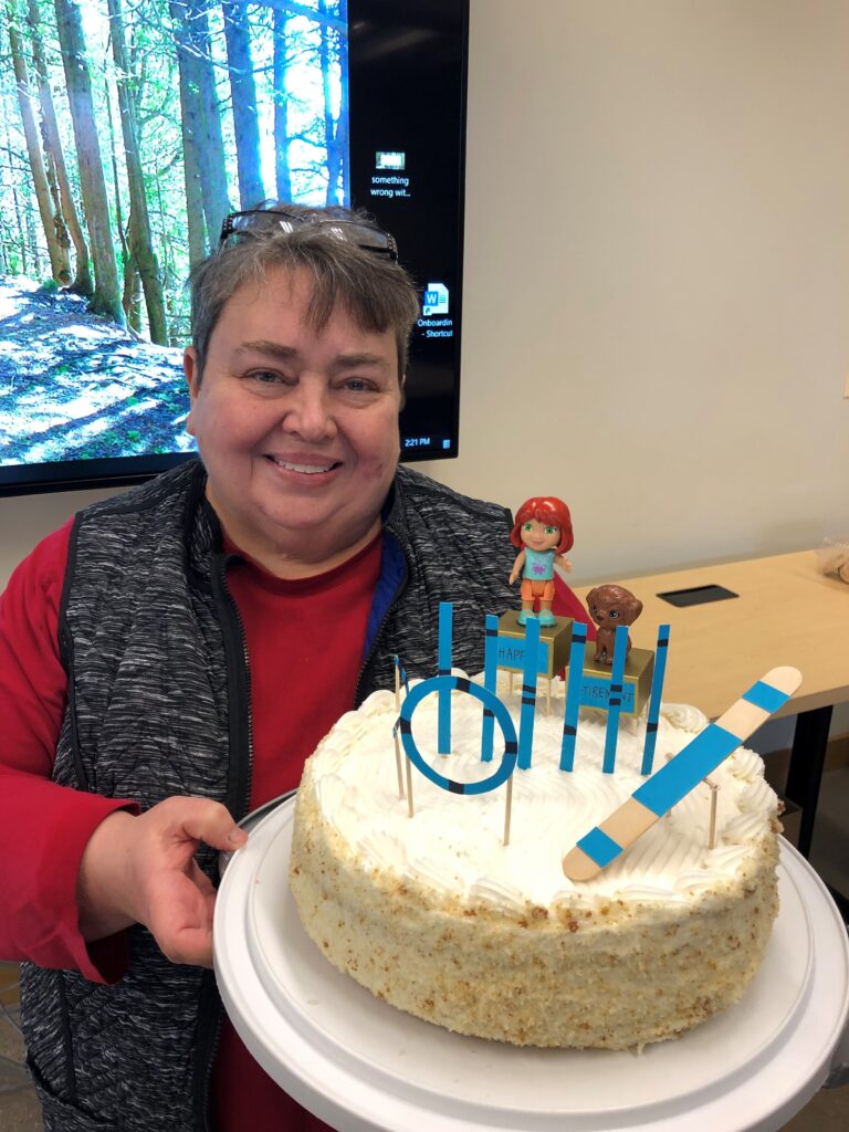 Congratulations to Tracy Salisbury, who began her retirement in May. Tracy has been with the DNR as an urban forestry coordinator in northeast Wisconsin since 1998.
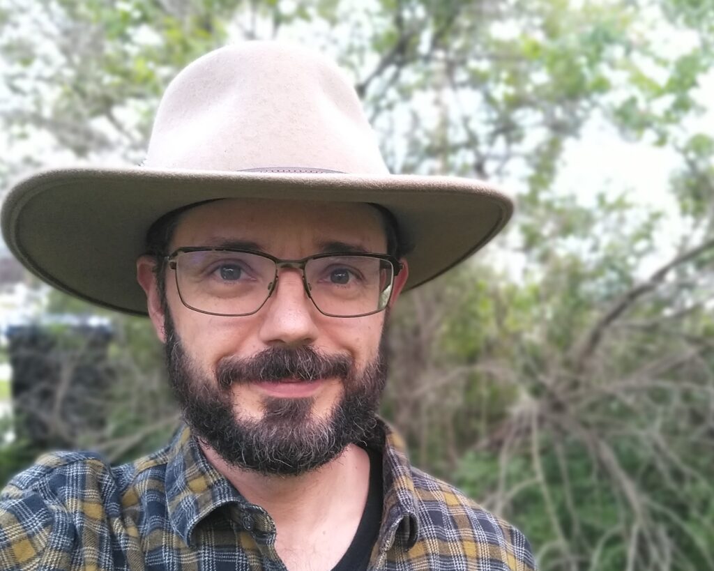 Jay Dampier joined the Urban Forestry Team on June 3 as the new Inflation Reduction Act (IRA) grant coordinator. This is a federally funded project position that will be overseeing $4 million of federally funded grants awarded to Wisconsin communities, tribes and nonprofits. These IRA funds were allocated to the urban forestry program by the United States Department of Agriculture (USDA) Forest Service in 2023. As part of the Justice 40 Initiative, 100% of the funds will be used to improve the urban forest resources and lives of those living in disadvantaged communities throughout the state.
 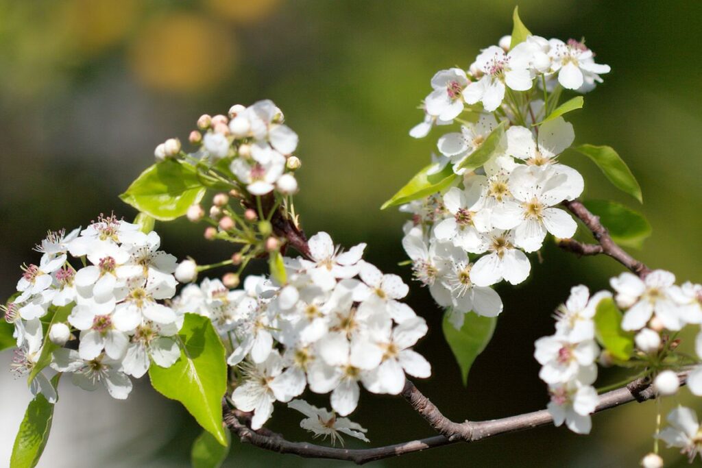 At first glance, the Callery pear (Pyrus calleryana) tree seems appealing, with its white blossoms in spring and colorful leaves in fall. Digging a little deeper, however, reveals the grim reality of this common urban tree. Once introduced for its ornamental value, this invasive species has become a significant threat to Wisconsin’s ecosystems.
  Join the Wisconsin Arborist Association (WAA) for its summer conference. It will be held at the University of Wisconsin-River Falls University Center in River Falls, Wisconsin, on Friday, July 26, 2024. The program will have a little something for everyone, Planting for the Future and feature two educational tracks, one indoors and one outdoors.
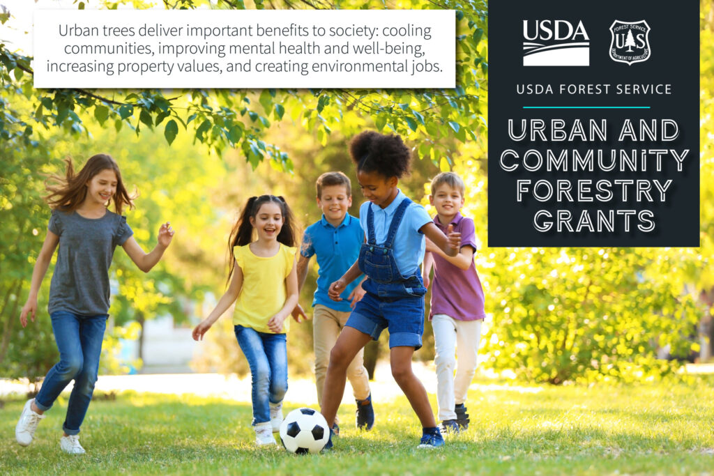 The Urban Forestry Inflation Reduction Act grant program uses