By Jenn Janness, Urban Forestry Council Liaison
Jennipher.Janness@wisconsin.gov or 920-809-9330
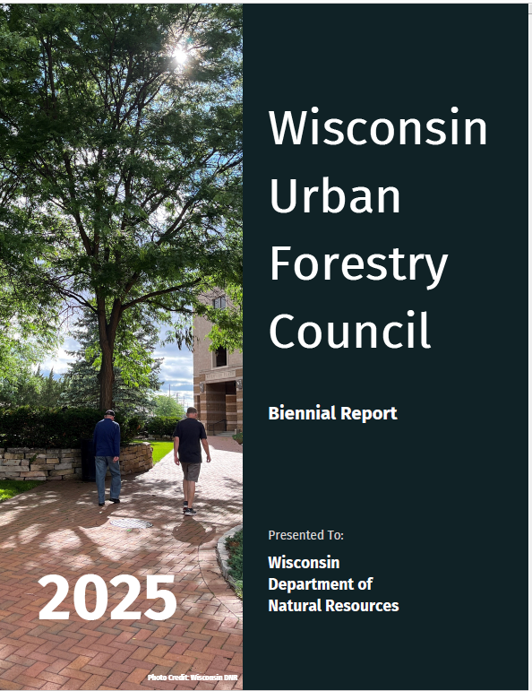 The purpose of the Wisconsin Urban Forestry Council is to advise the state forester and the Wisconsin DNR on the best ways to preserve, protect, expand and improve Wisconsin’s urban and community forest resources. Members are appointed by the DNR Secretary and represent a wide array of stakeholders, including municipal and utility foresters, medical and higher education professionals, nursery and green industry staff, environmental groups, public works and parks staff, organizations such as the Wisconsin Arborist Association (WAA), the Urban Wood Network Wisconsin, the League of Wisconsin Municipalities and government agencies such as WisDOT and DATCP. Continue reading “Wisconsin’s Urban Forestry Council 2025 Biennial Report Published”

 Arbor Day is right around the corner, but why wait to start celebrating and learning about trees? The
  TREE Fund offers scholarships for undergraduate students who aspire to careers in arboriculture, urban forestry and related fields. Before applying for any scholarship, carefully read the guidelines for each scholarship provided on the website.
  Now is the time to sign up to Run for the Trees! Racers can complete their Happy Little (Virtual) 5K anywhere outdoors between April 18-26, 2026. The nine-day window includes Earth Day (April 22) and Arbor Day (April 24).
 By Scott Lyon, DNR Forest Products Team Leader