
By Dan Buckler, DNR Urban Forest Assessment Specialist
Daniel.Buckler@wisconsin.gov or 608-445-4578
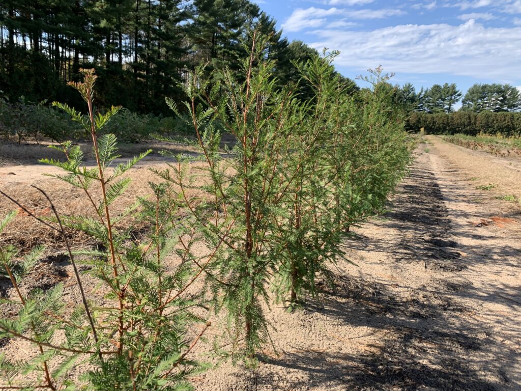
One of the many challenges for urban foresters in navigating climate change is the fact that while temperatures are elevated across every season, it can still get pretty cold in Wisconsin, even along Lake Michigan. Nonetheless, hardiness zones are shifting, and there is plentiful experimentation underway by Wisconsinites to identify which tree species are appropriate for their location throughout the 21st century.
The Northern Institute of Applied Climate Science produced species vulnerability lists for six locations in Wisconsin, projecting what species are likely at increased risk (i.e. more vulnerable) under different climate change scenarios. Those are great resources that use the same background methodology as a species vulnerability analysis done for the Milwaukee metropolitan area. Continue reading “Tree Species In An Uncertain Future Climate”
 Council, has updated its recommended species lists for street and park trees. You can find those four documents below and under “Tree Species Selection” on the
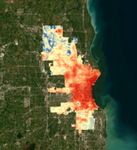
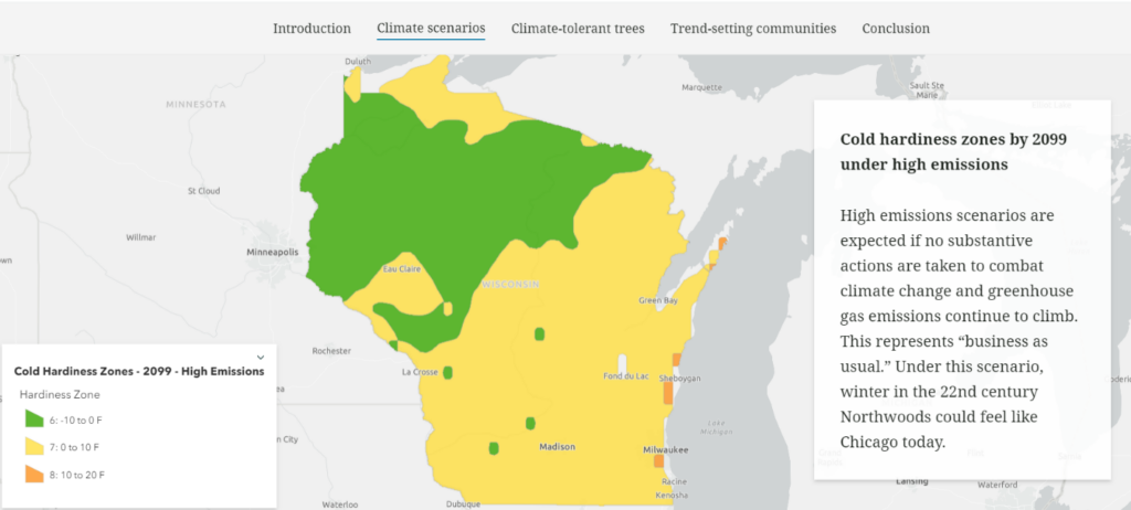
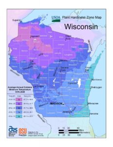 Jack Frost descends upon us all in Wisconsin, but the depths to which he brings the mercury differ depending on your latitude, elevation, and proximity to water or urban areas. These differences are observed in a location’s cold hardiness zone, which represents the average minimum temperature a location is expected to experience.